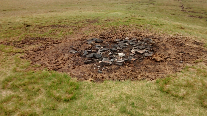
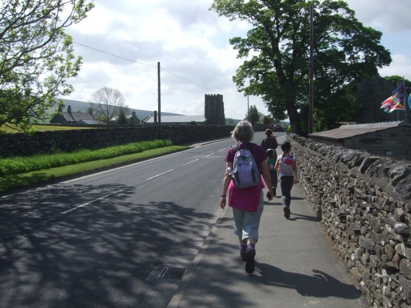
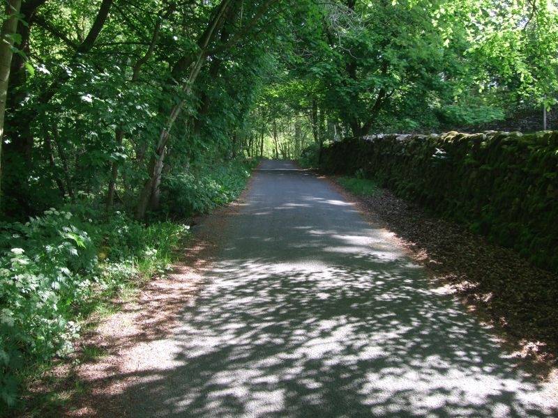
We made it up to Horton in Ribblesdale for our Penyghent circular by 10.30. We managed to find a slot on the car park in the village and after togging up we set off back up the road towards the church.
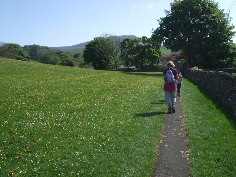
Over the road and through the gate to take us to the meadow path.
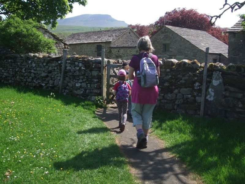
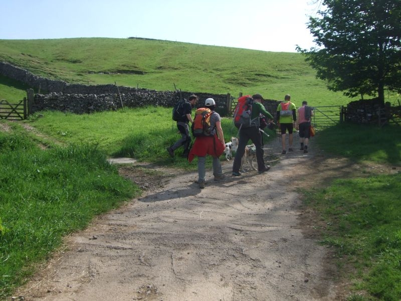
Gate through to Brackenbottom.
Brackenbottom Lane.
Top of the lane and the gate out onto the fell.
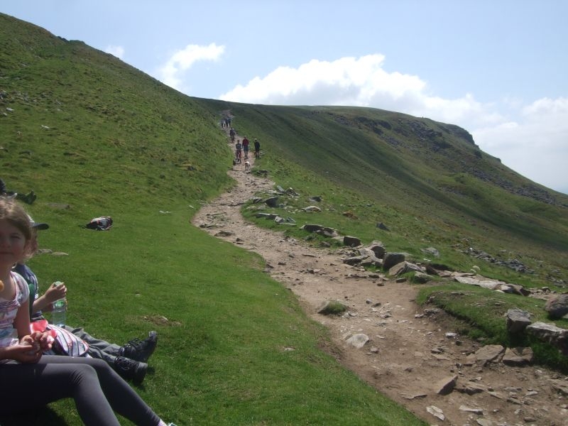
Starting the climb up the fell.
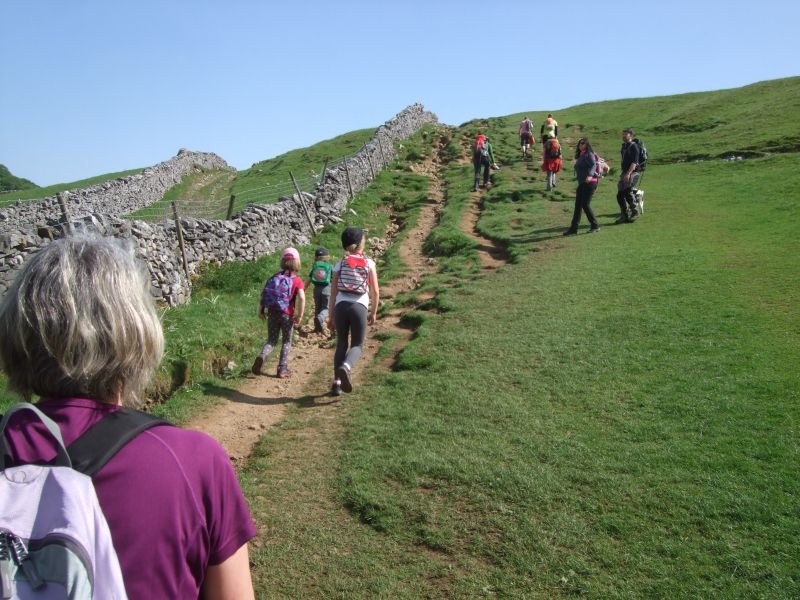
Near the top of the first field.
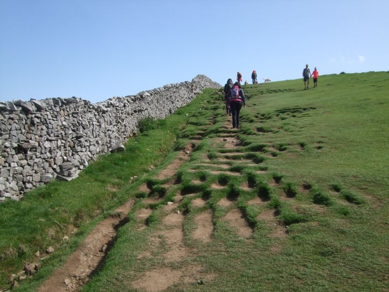
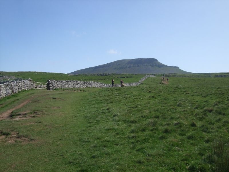
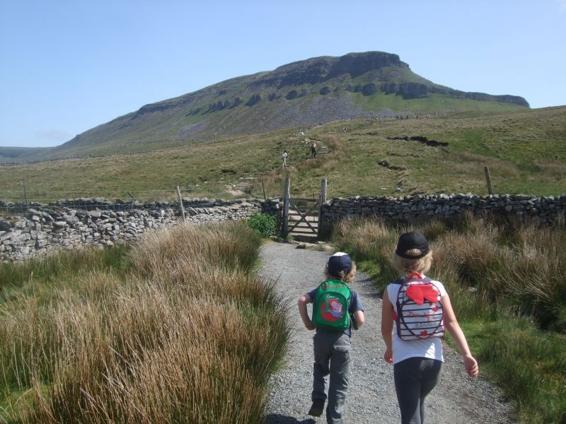
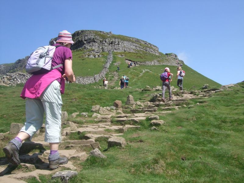
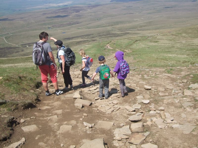
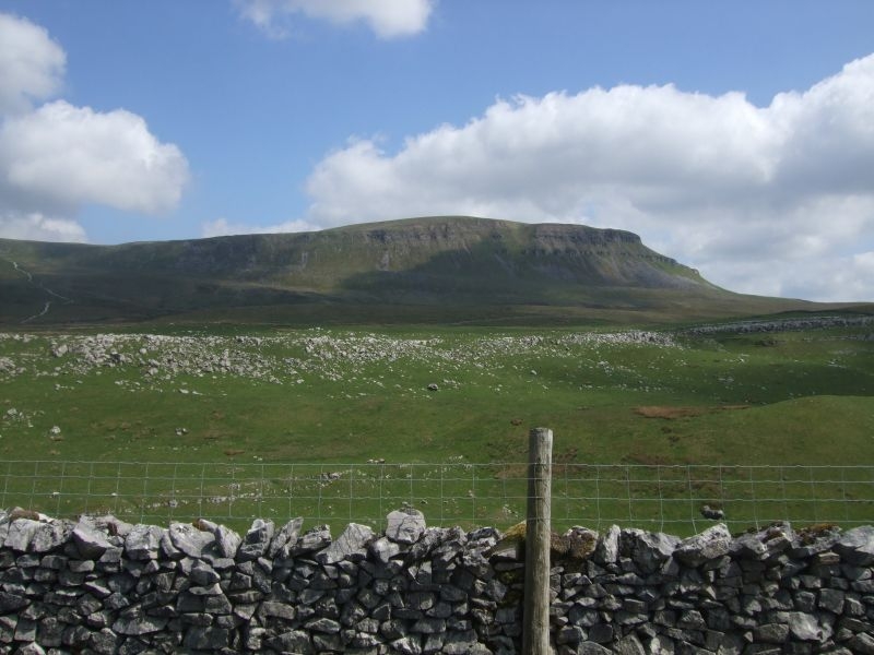
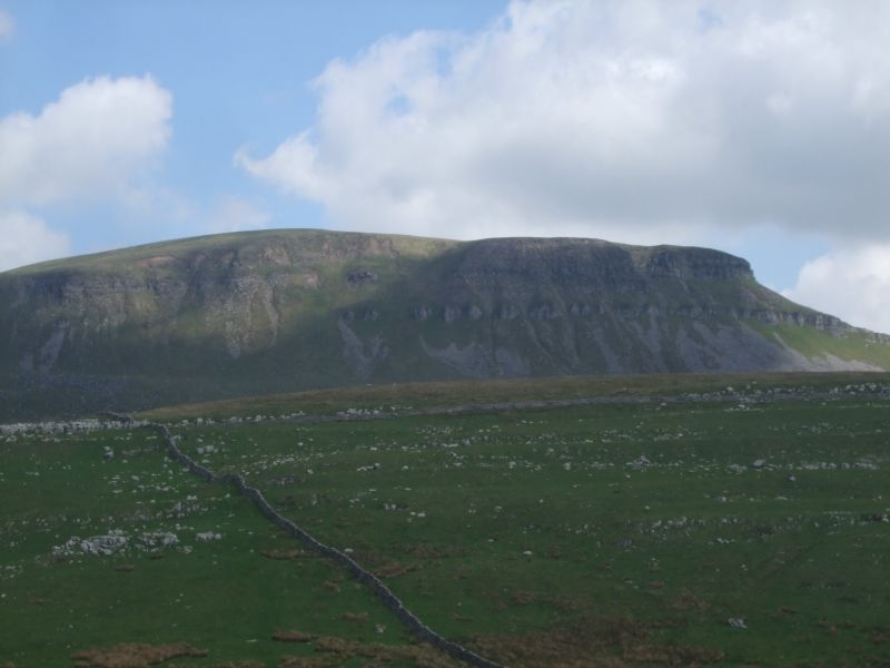
Through the gate and the first view of our target from the path.
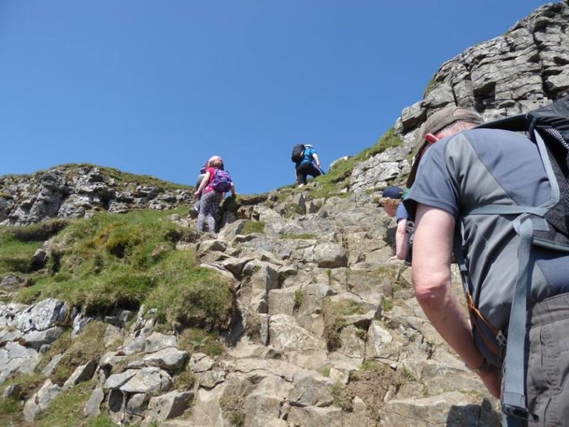
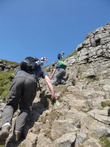
Approaching the first of the limestone outcrops to climb.
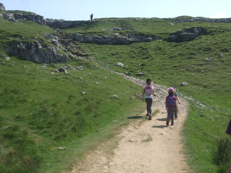
Through the limestone.
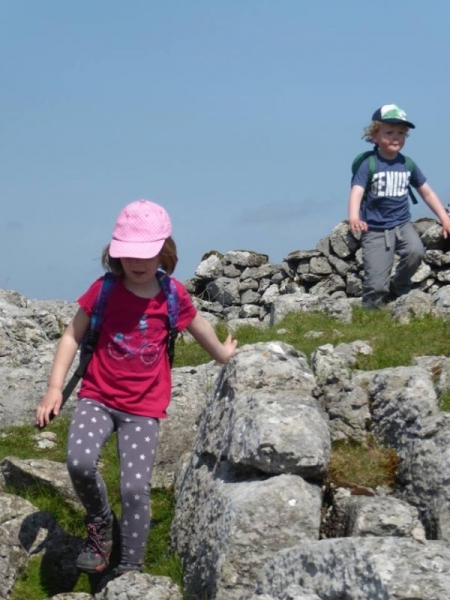
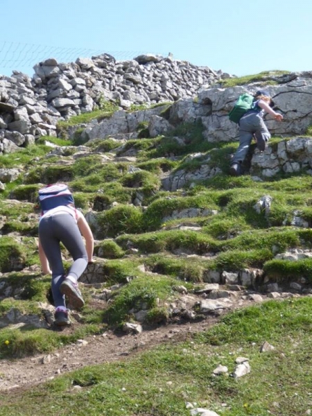
Another scramble to tackle.
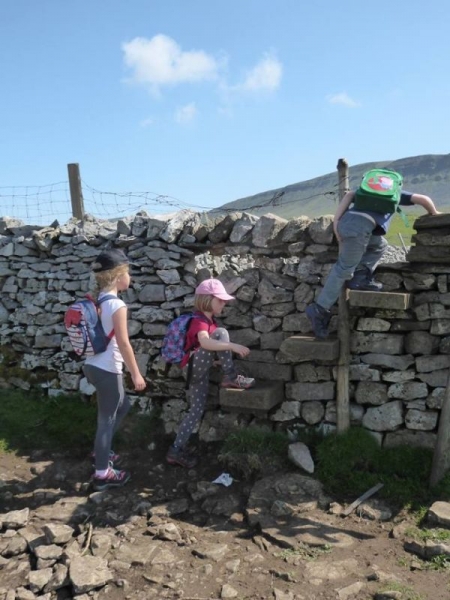
Step stile over the wall.
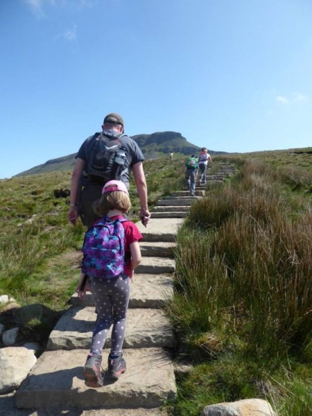
On towards the steps up to the junction with the Pennine Way.
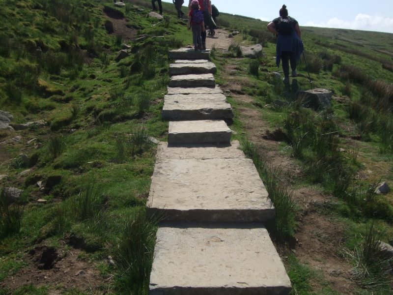
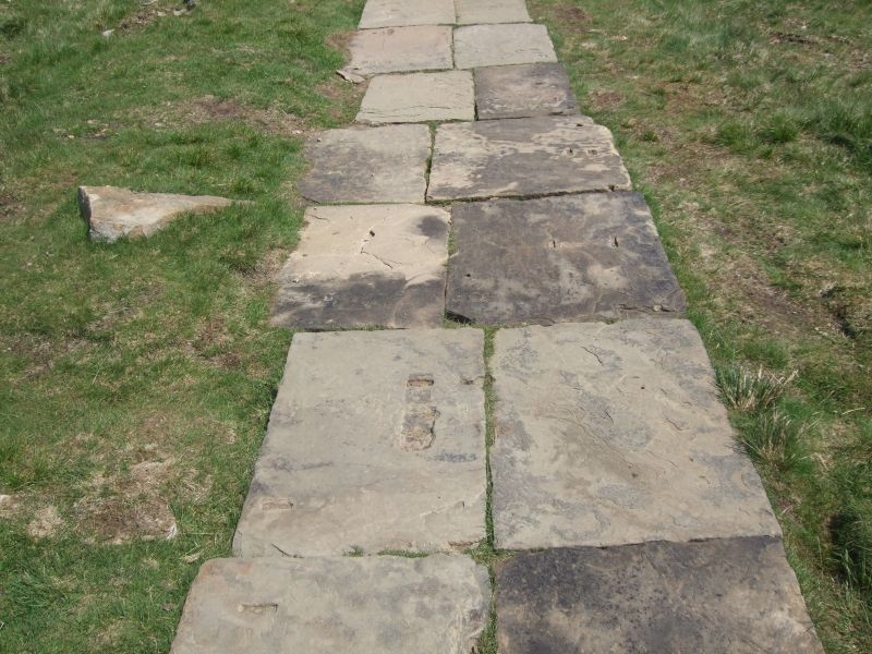
Starting the ascent up the steps, this part of the route used to be wooden staging but was replaced with recycled flags which are more in keeping with the terrain.
At the top of the steps there is a gate out onto the brow of Penyghent where the path joins the Pennine Way. This is where the last push to the summit starts so is a good place for a break before starting the climb.
The path rises sharply from here.
It becomes quite narrow as it skirts it way up to a small plateau before the final rocky climb.
Another breather after this first stage climb before the final push.
The last climb up the next 100 ft or so winds its way up the grit stone cap of the hill.
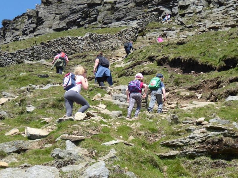
After the last rock climb you emerge onto the final path up to the summit. It used to be very boggy here but the route has now been paved with more recycled stone. You can see where some of these flags originated, fixing points for looms.
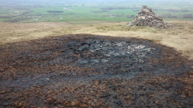
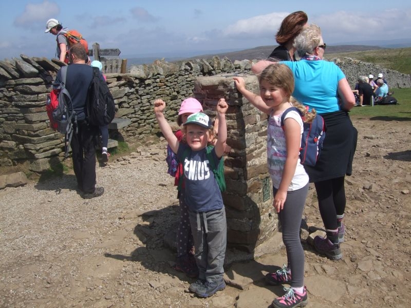
Trigged out about one and half hours after setting off, time for a sit down and our pack up.

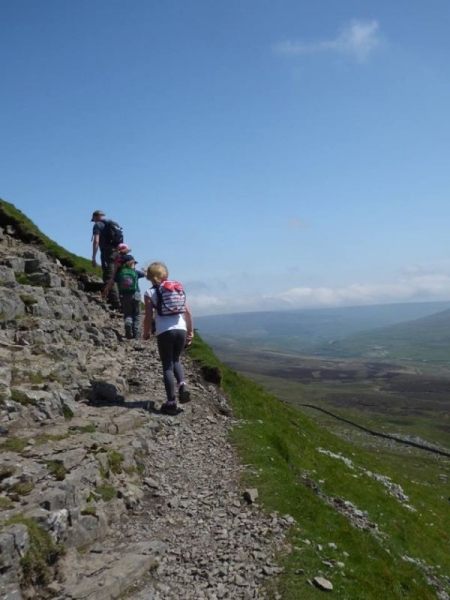
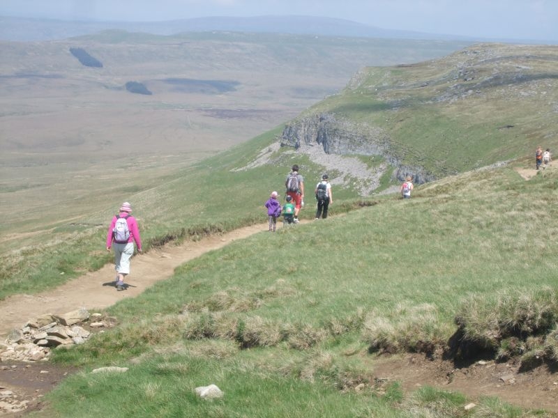
We spent about 20 minutes on the top eating our lunch and to rest the legs up a bit ready for the descent. Over the stile still on the Pennine Way route and starting our descent to the limestone cliff.
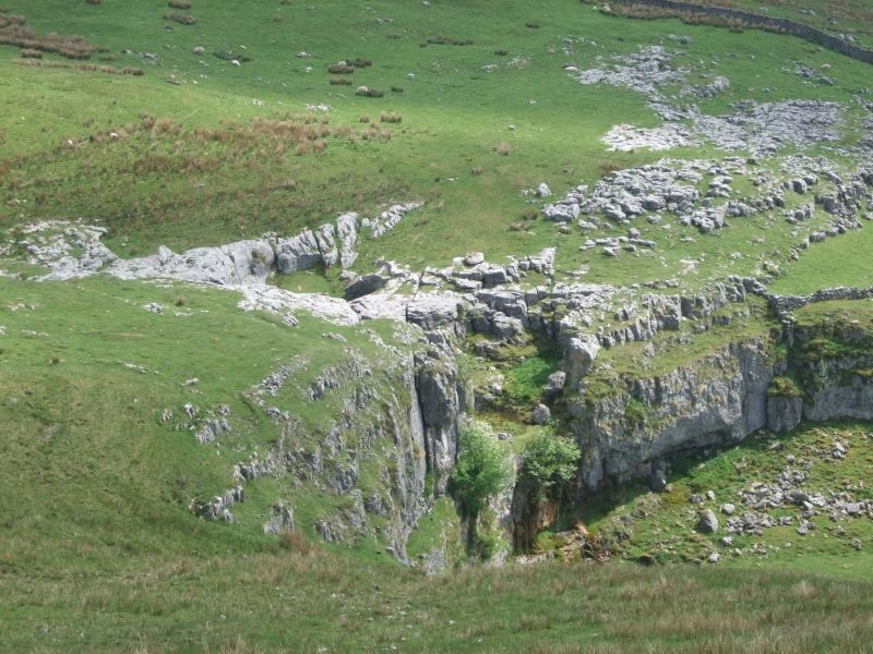
Its downhill all the way from here, the path hugs the side of the hill on its way down to the cliff which you can see in the distance.
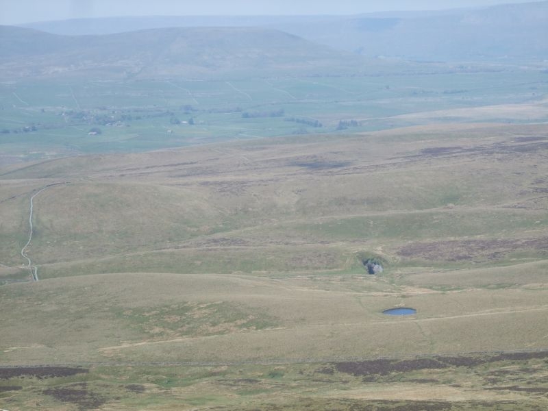
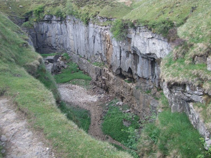
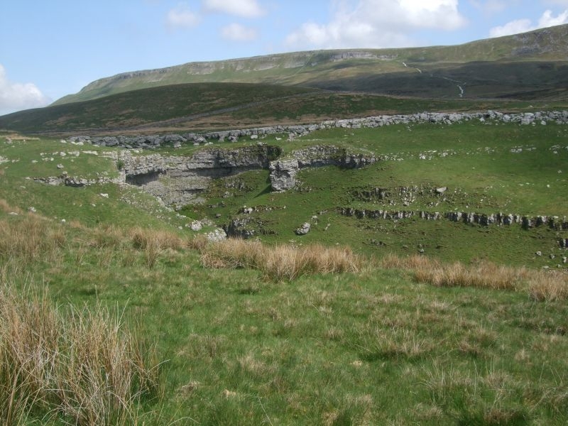
Another feature we will visit on our return to Horton, Hull Pot visible past the waterlogged sink hole.
Limestone cliff in sight.
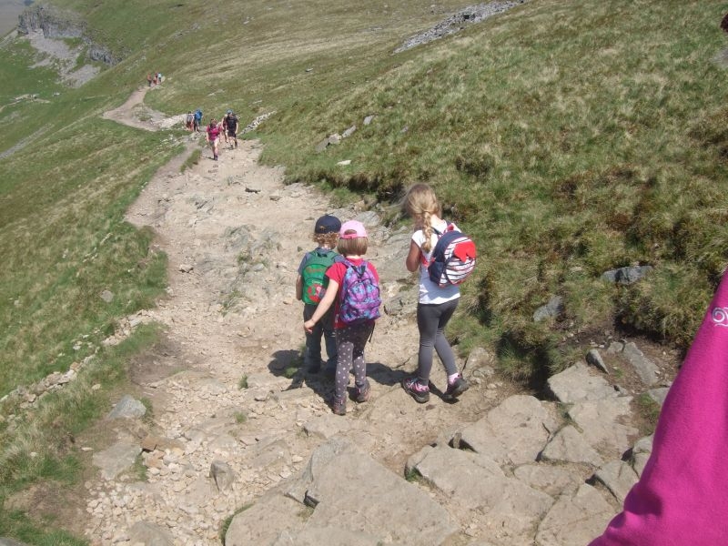
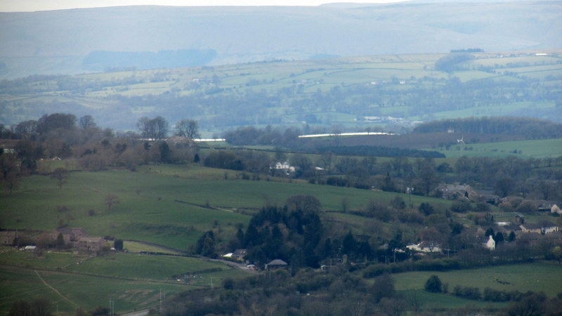
We have another short break here, the kids are doing OK, they are carrying all their own stuff and have not complained at all. Short breaks to keep them going seems to be working well. We still have provisions to munch when needed and water to re hydrate. This is the view back up the path from the summit.
The path descends to the valley floor to join the lane down into Horton. We walked the quarter mile or so back up the valley to show the kids Hull Pot.
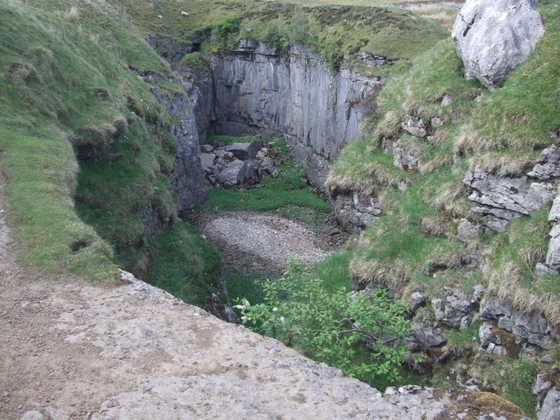
Hull Pot is a massive collapsed cavern the pot itself is still accessible at one end of the chasm floor. Potholers set up ropes to get down to the entrance. Hull pot beck runs over the lip and into the chasm about a third of he way along its length. It has been known in times of extreme rainfall for the chasm to fill completely with water overwhelming the pot below and overflow down the lane. I think the last time was in the 1980's, there are photo's in the Penyghent Cafe. It nearly overflowed this last winter, with the prolonged rainfall that we had. Hull Pot Beck is as dry as a bone today though only a trickle flowing lower down the chasm wall and away into the pot.
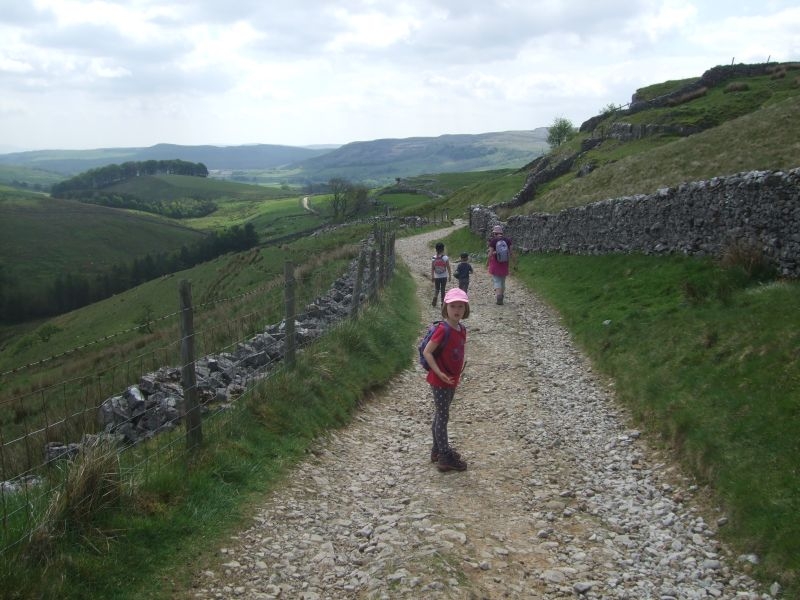
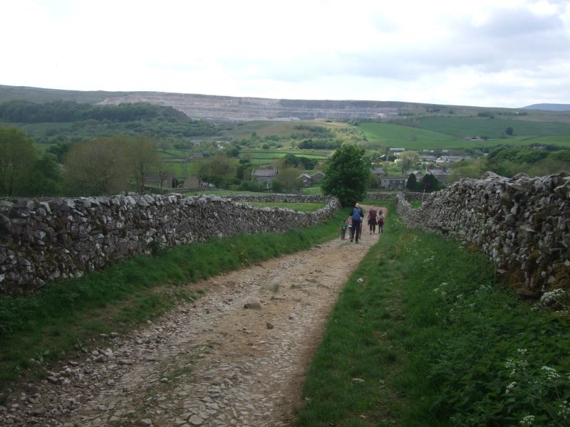
We retrace our steps to pickup the Pennine Way again and the lane down into the village.
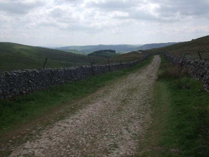
Horton Scar Lane runs parallel to this dry valley.
A view back up to Penyghent from the lane you can just see the path down from the limestone cliff.
More of the dry valley.
Only a mile or so to go.
Another view of the hill as we approach Horton.
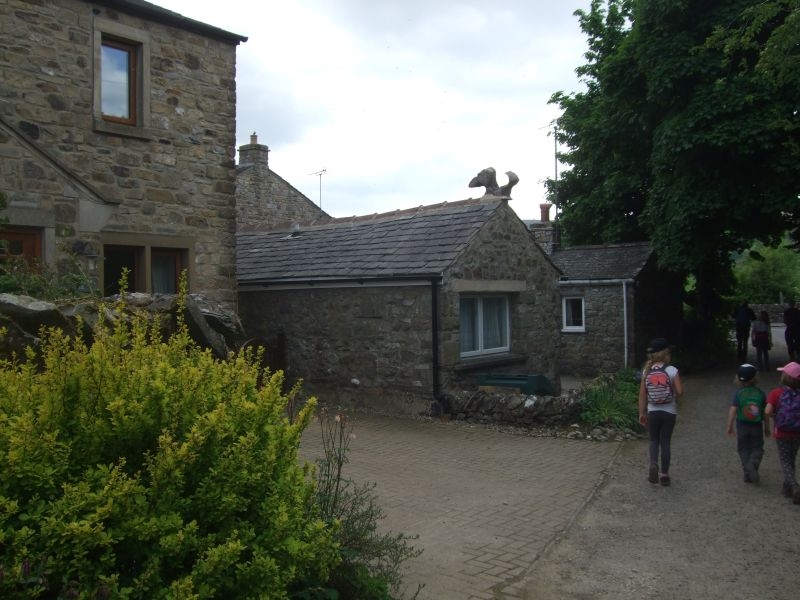
Rooftops and cottages in site so not far now.
You know you are back in Horton when you see the squirrel.
We went back down to the car and dumped all our stuff, boots off, sandals and trainers on and then back up to the Penyghent Cafe for a brew and ice creams. A guy came in while we were waiting to be served asking for his card for the clocking in machine that they maintain at the cafe for those doing the Three Peaks, he had just completed running the circuit. The cafe runs the Three Peaks club which you qualify for if you complete the 24 mile circuit of the summits of Penyghent, Whernside and Ingleborough in less than 12 hours. You can ask for a card either over the counter or, if setting off early (as most do) with a note through the door with your details on. They will manually enter the time against your name and you can punch it out when you get back. It acts as a safety system as well for the long distance route.
Proud to say both Sally and myself and all three of our kids have done the challenge, Sally and I completed in 10 hours, we were a bit younger though when we did it the first time. Hoping the grandchildren will take it on as well when they get a bit older.
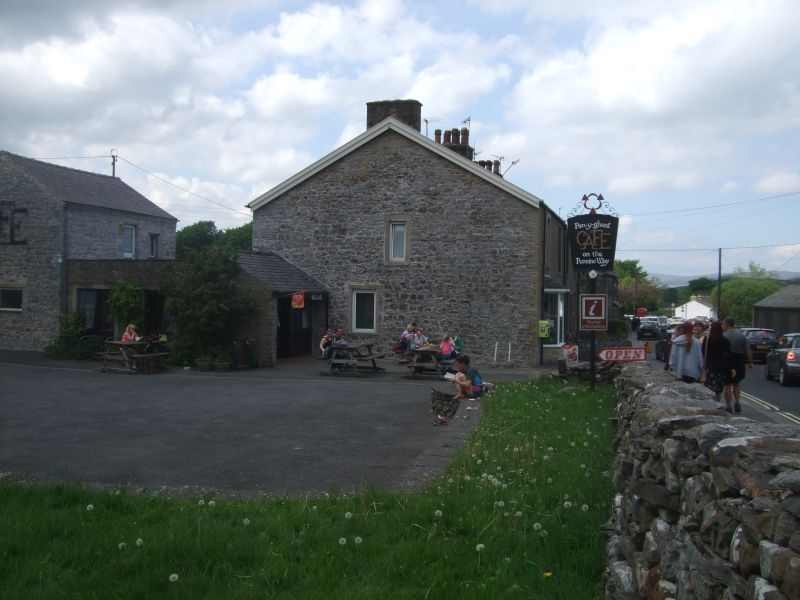
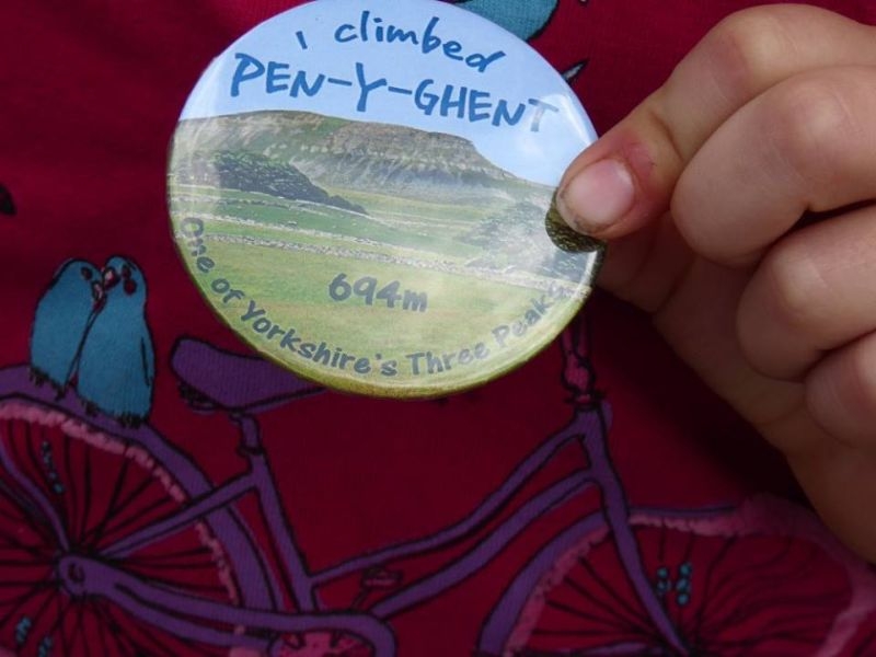
In the meantime for those in waiting to join the club we treated them to a badge apiece to signify their first ascent. Penyghent is a proper mountain.

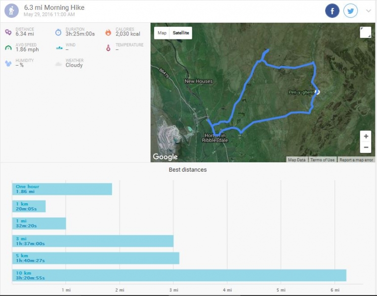
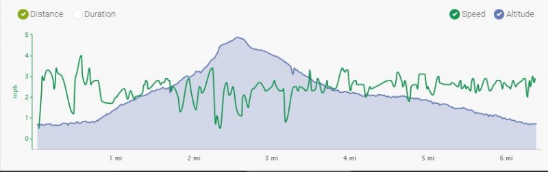
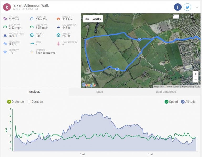
Here is the track and the stats for the day. I have had to hack it a bit as my endomondo did not track the route properly. I don't think it had acquired enough satellites to start the trace when we set off. I have manually drawn the route in and copied the bottom of Sally's track to get the terrain readout.
Anyway, 6.34miles, 3h 25min activity (not including rests), 1257ft total ascent, a lot of calories earned. Dry, warm, sunny day.