Yesterdays walk took us up round Malham. We drove up and parked up at Watersinks in front of Malham Tarn got togged up and set off on the circular.
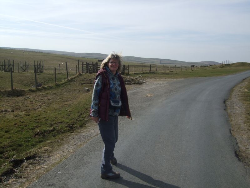
Just out of the car park through the gate on the road and we pickup the Pennine Way.
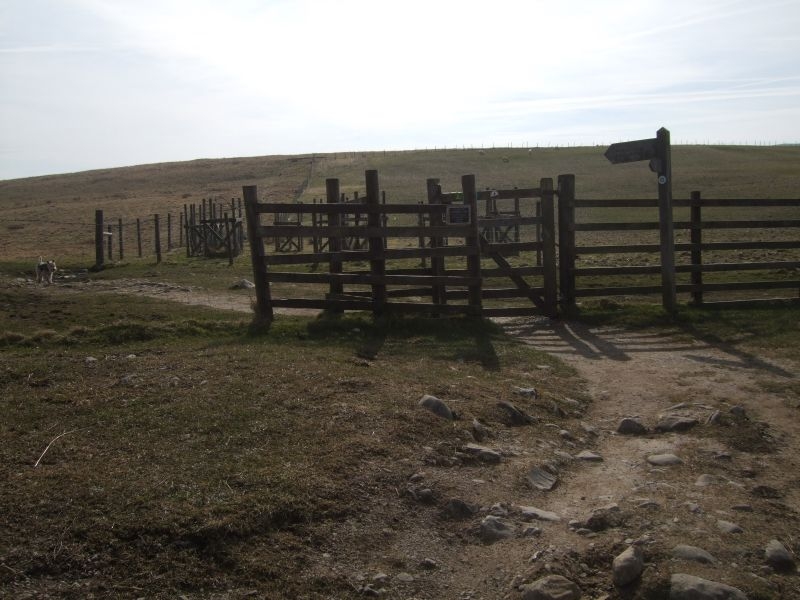
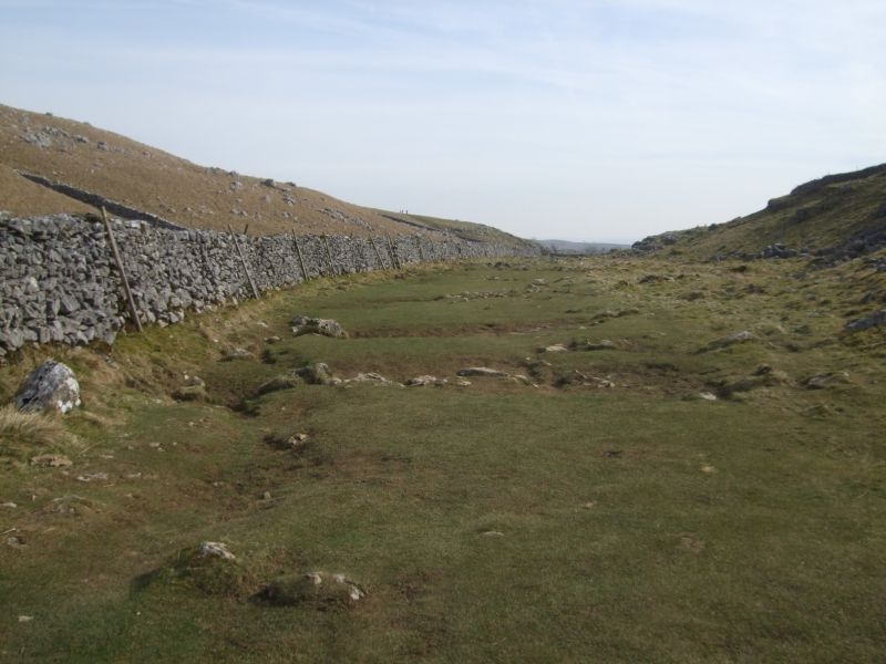
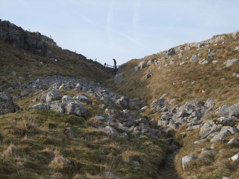
Approaching the dry valley.
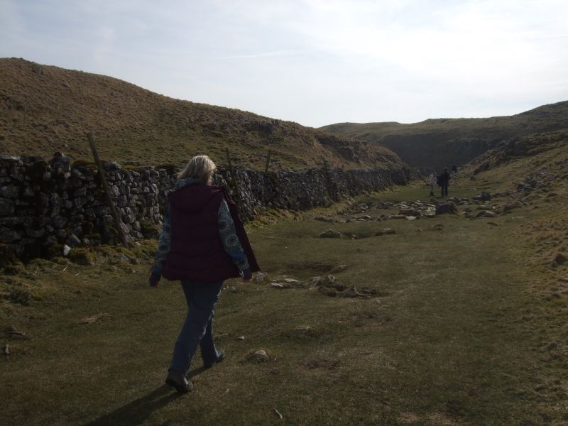
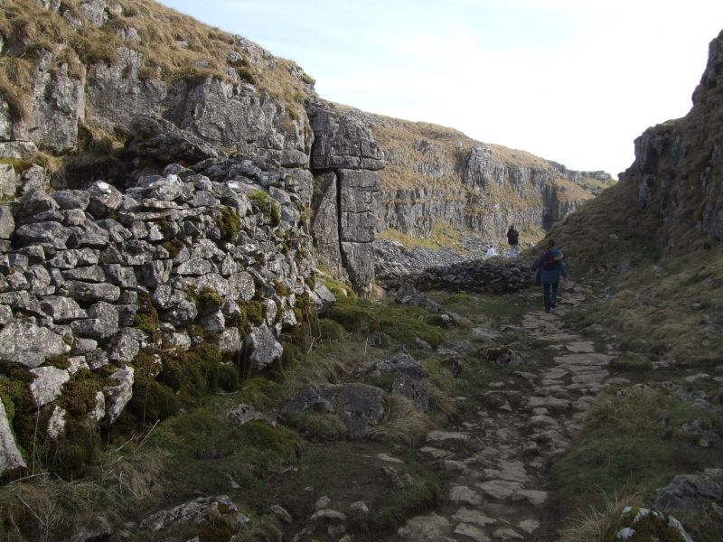
The path becomes quite rocky as it winds its way around the valley.
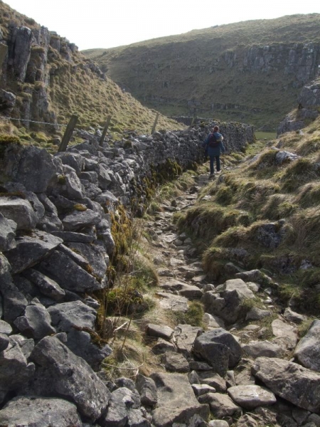
This valley used to carry the water that formed Malham Cove.
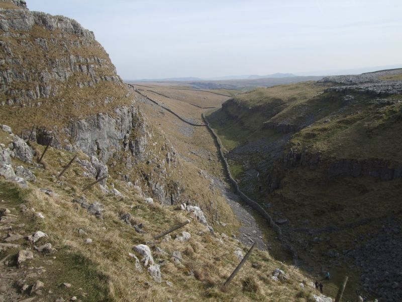
A view lower down at a bend in the valley, quite a head of water at one time.
Descending to the valley floor.
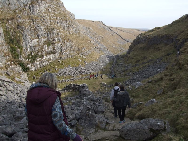
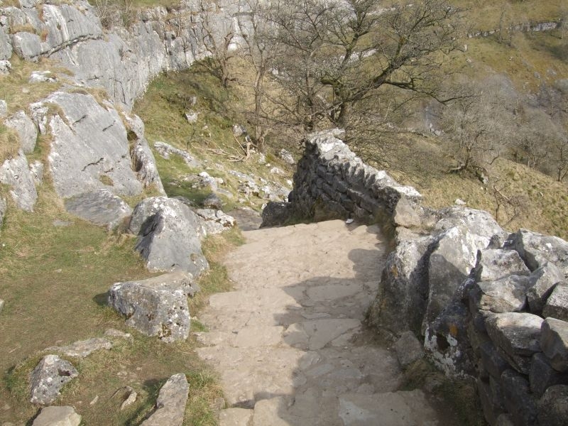
The valley opens up as you approach the top of the cove, the water course would have cascaded over the full width of the cove during formation.
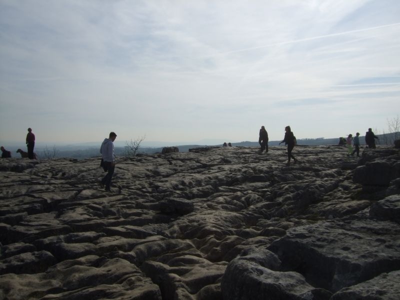
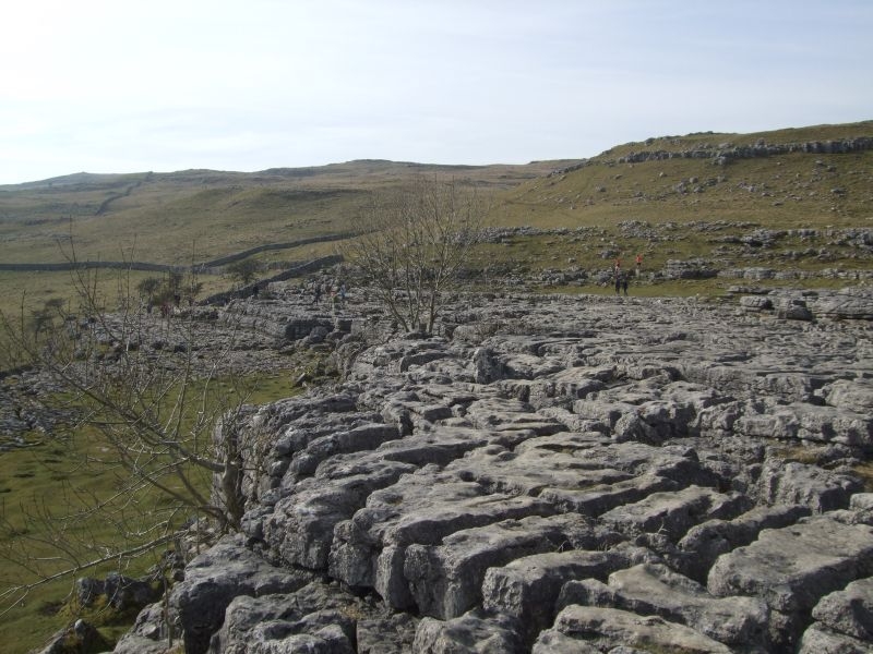
Over the last stile and a first view of the limestone pavement at the top of the cove.
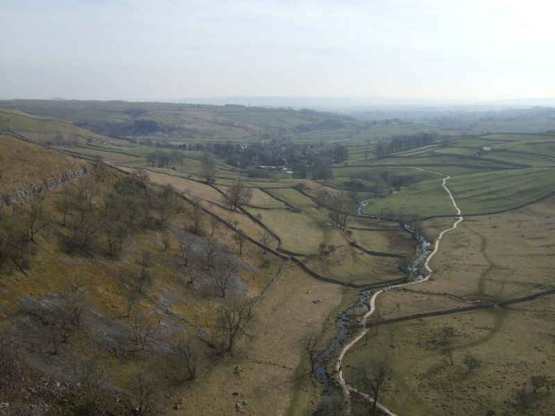
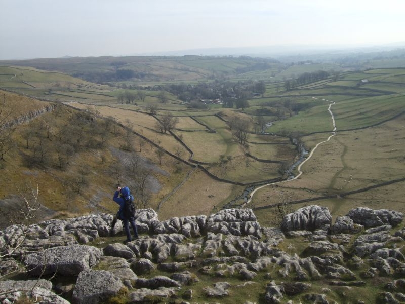
The view down the valley with Malham nestling in the distance.
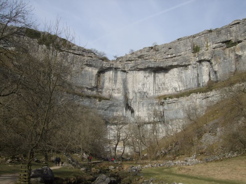
There is no fence along the rim of the cove to spoil the view. 230ft straight down so you need to watch your footing.
Far side of the cove, a good shot of the Clints and Grikes as we make our way over for the descent.
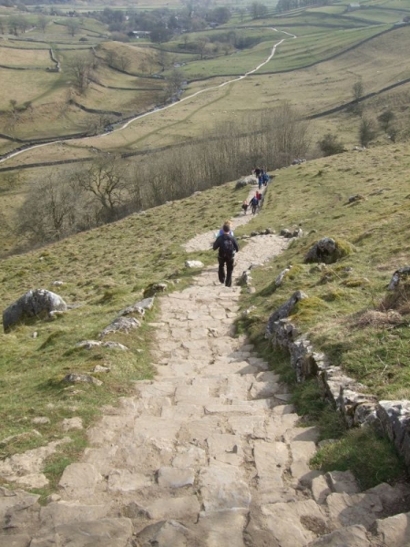
The descent into the valley bottom is via a long flight of limestone steps, a glance back up just after starting down.

Just over 400 to go!
This is about halfway down as the path winds down the side of the valley.
Not far to go, approaching the bottom gate.
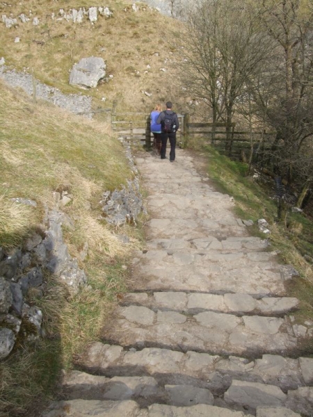
Last few steps.
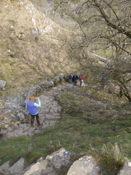
A glance at the cove and the climbers on the face.
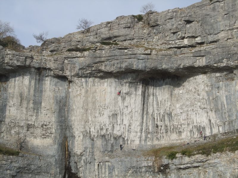
A magnificent Yorkshire landmark.
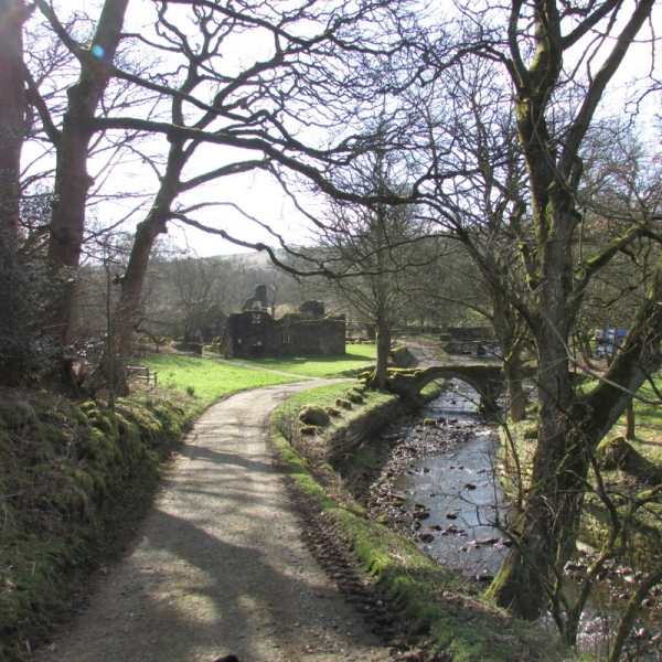
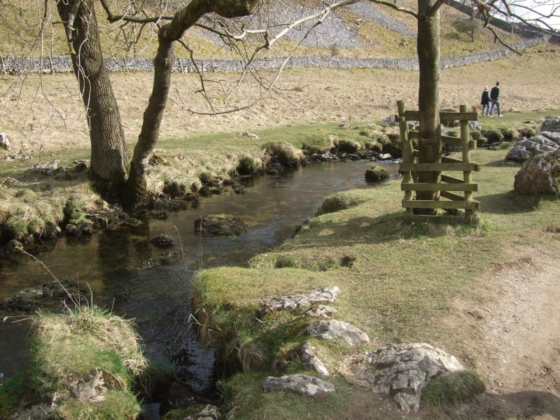
Malham Beck in the bottom.
Another half mile or so and we are down in Malham Village. We are about halfway round our walk at this point and just have to climb back up the other side! We indulged ourselves with an ice cream as we made our way out of the village.
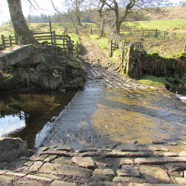
We are heading back up to the Tarn returning via the Eastern side of the cove. We cross the beck and head out of Malham back onto the Tarn Estate.
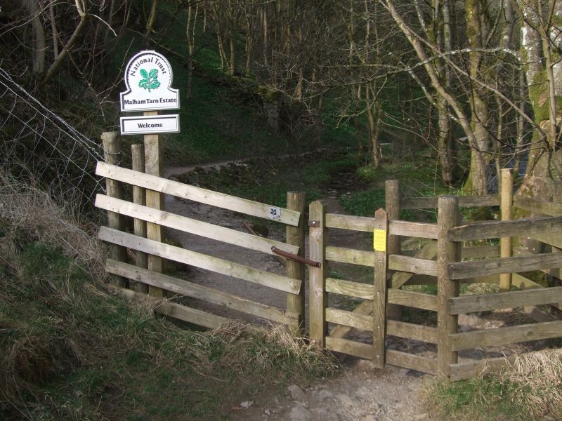
We notice this sign on the gate as we pass through.
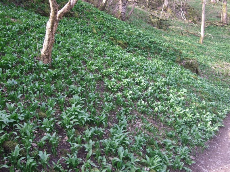
Here's one for Maz, the banks at the side of the path are blanketed with Wild Garlic, the aroma is quite sweet by the river.
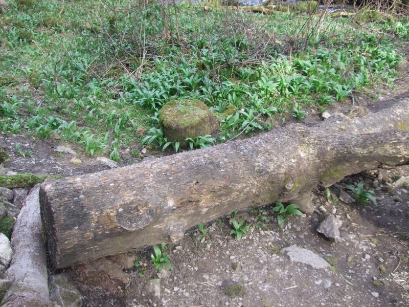
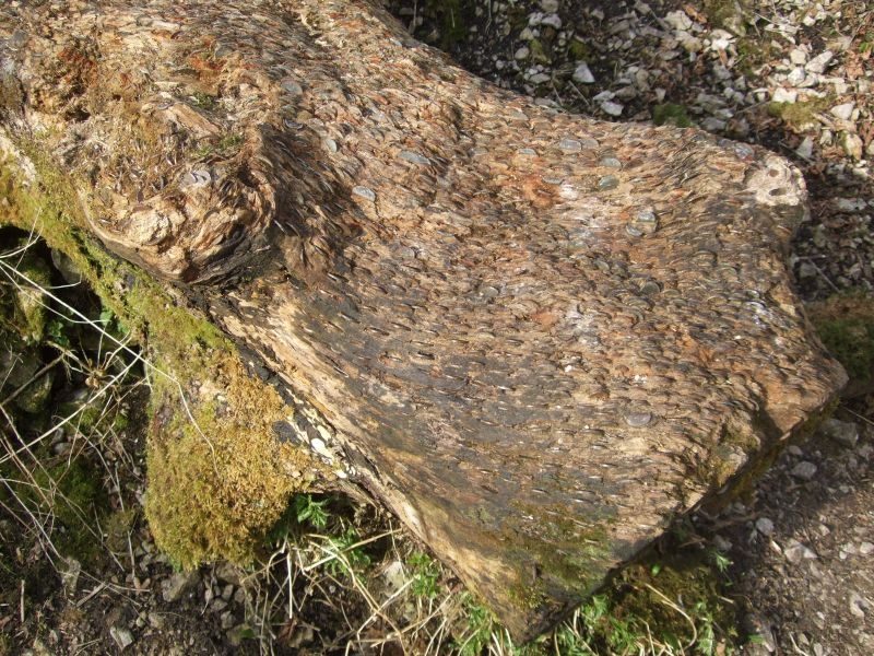
First of the coin logs amid the Garlic
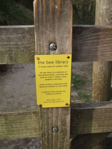
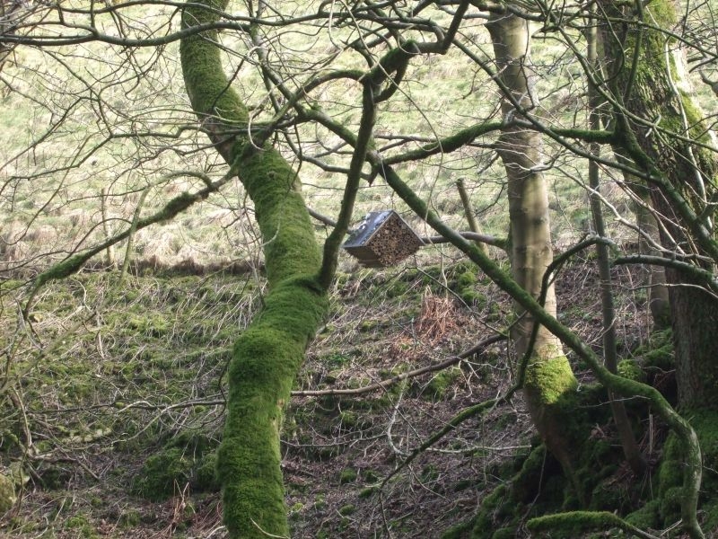
Then one of the Bee Libraries in tree at the far bank of the beck.
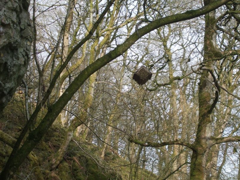
Then another one at our side.
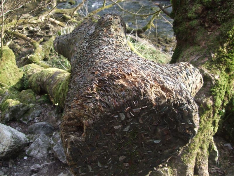
A couple of shots of the second coin log we come across.
We are following Gordale Beck upstream, this along with Malham Beck are the contributors to the River Aire.
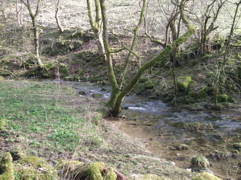
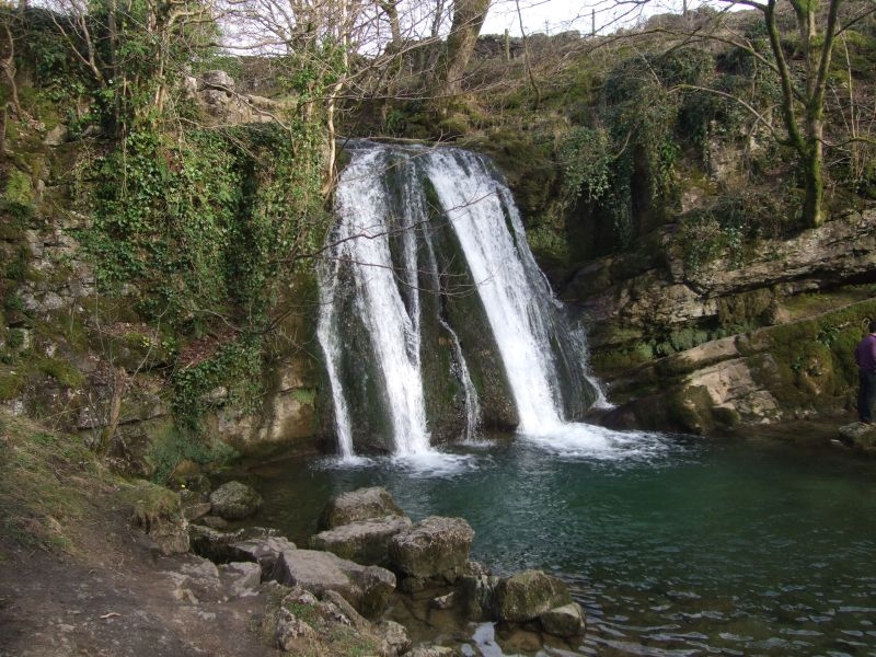
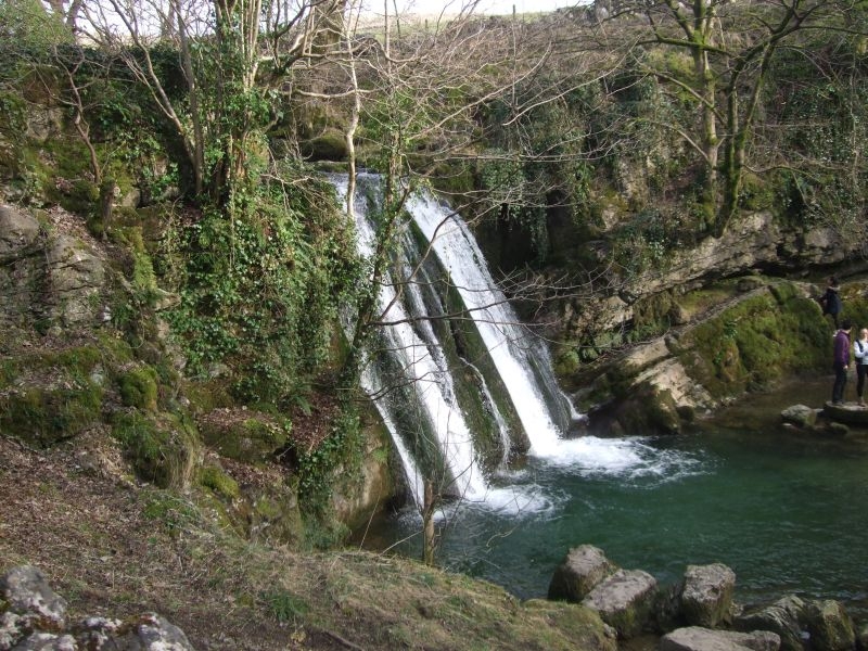
Not far to the Foss
Janet (Jennetts) Foss. Queen of the local Faries she was said to inhabit the cave behind the falls. It's common courtesy to say good afternoon to her spirit at the Foss.
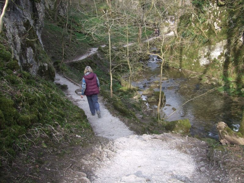
Looking back down the beck.
A short path leads to the top of the Foss.
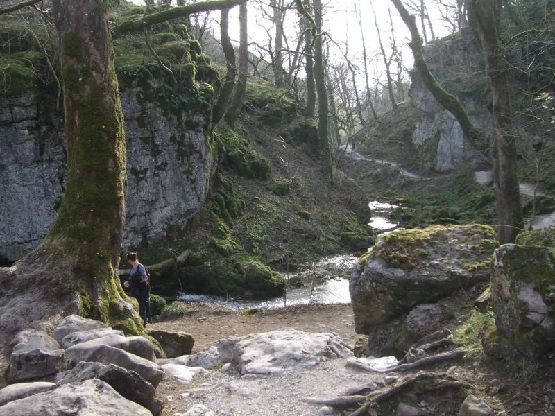
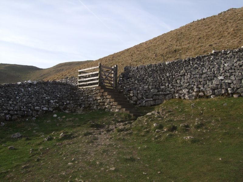
We climb up from the Foss and onto the road, we could visit Gordale Scar from here but we have a couple of miles uphill to do yet to get back to the car. We cross the road diagonally and take the gate into the field at the opposite side. The path up the fell is quite easy going which is welcome. We arrive at this quite magnificent stair and kissing gate at the top of the field.
We noticed another exit from the field a little lower down but that one heads up in the opposite direction towards Gordale. We turn left and continue the climb.

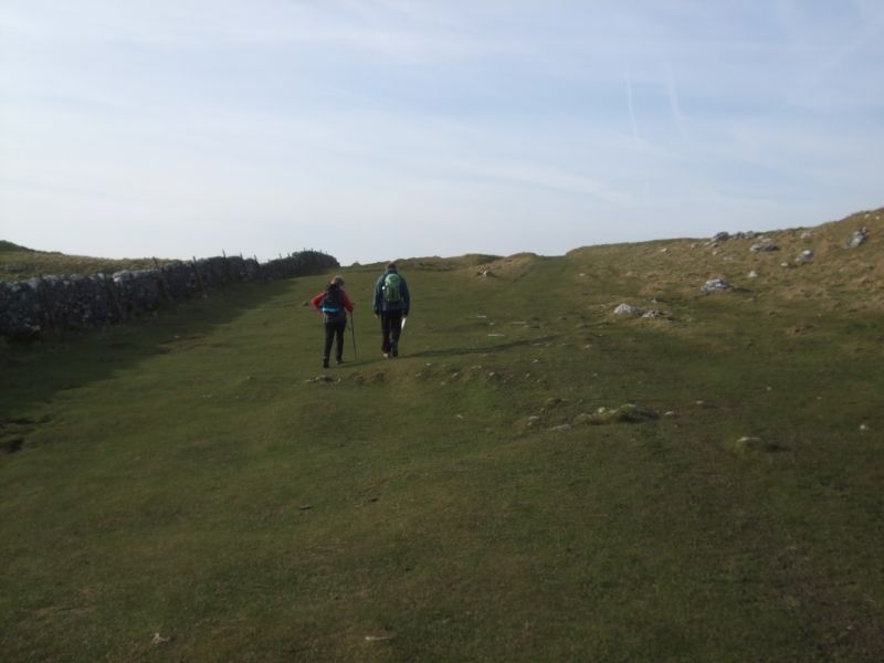
At the top of the rise the ground levels off slightly with a path on the left which goes down to the cove. We continue forward and slightly to the right to another ladder stile higher up the fell. This sets us on the right path for the Tarn.
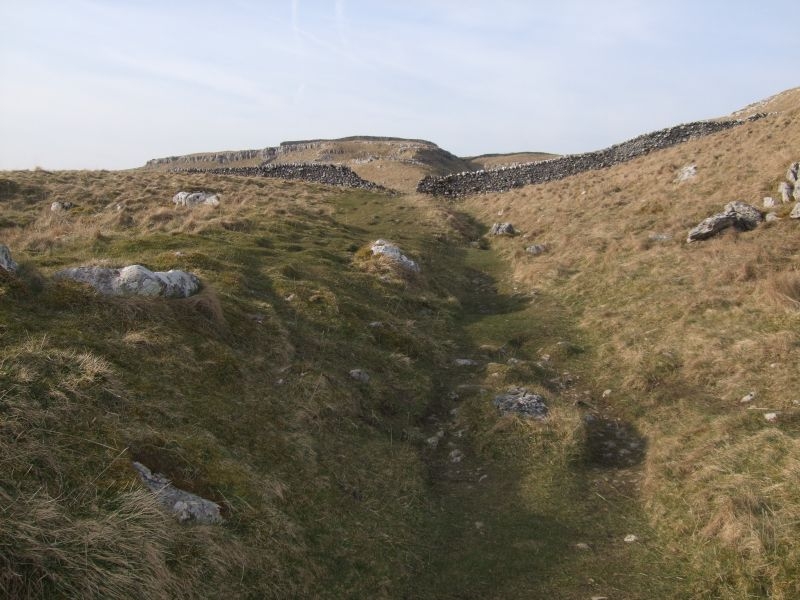
It gets a little steeper as we approach the last ladder stile at the top of the fell.
Out in the open now and much easier going.
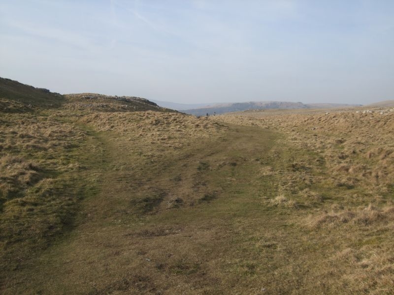
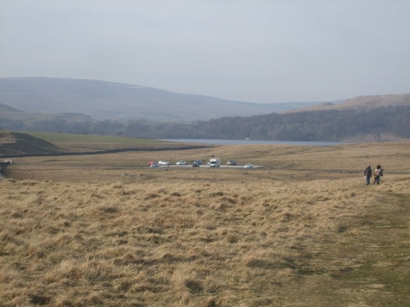
Not far to go now Watersinks and the car park ahead with Malham Tarn in the distance.
This walk was number 24 in the AA book Sally found. It was classed as a medium grade, (4 walker figures out of 6) route. The guide suggested a minimum of three hours to complete the 6.25 mile circuit, we completed it in 2 hours and 20 minutes without rushing. It was a very nice walk and we think we will make this circular "Dans Walk" in the summer, sometime around his birthday in the middle of July. We would start it from down in Malham though rather than up at the Tarn we like to finish Dans walk with a bite to eat so more scope for this down in the village.